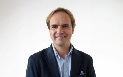
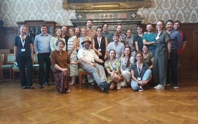
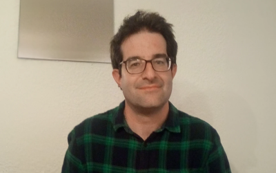
Joan Masó, a GIS and remote sensing researcher at CREAF in Barcelona, Spain, is our project coordinator. “I work at a center in ecology and forestry applications, but I don’t do any of those”, explains Masó. “Instead, I do digital maps that are actually a tool for ecology and forestry”. Joan is also specialized in standarization of data. In this interview we talk with our project coordinator, who explains a bit more about himself and tells us what the main objectives of the project are. We encourage you to take a look at the rest of our interviews by following the other blogs we have dedicated to them.
CREAF was founded more than 30 years ago after major fires in Catalonia. The Catalan Goverment decided to create a research centre to help prevent these fires and manage the forests on the territory. As the person appointed to lead the project had a great sensitivity to ecology, the centre gradually developed into what it is today. Nowadays CREAF has a broad and multidisciplinary research porfolio, integrating fundamental advances with important contributions in environmental issues of great socioeconomic impact. Its four main pillars are the study of biodiversity, global change, ecosystem functioning and Earth Observation.
The main contribution of CREAF to the AD4GD project is the project management and coordination as leaders of the WP8 & WP9, on Ethics Requiremets. They are also co-leading the pilot case on biodiversity in Catalonia with Aston University. In this pilot case the aim is to demonstrate the benefits of combining data from different sources such as remote sensing, citizen science, internet of things, administrative and socio-economic data to study biodiversity corridors. You can find more information about this case study in this link.
Check the full interview, conducted by Darica Egorova from Mandat International, on our Youtube channel:

